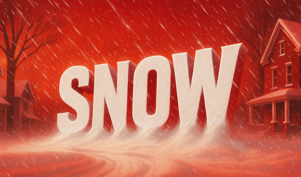
Bend, OR – Oregon could see its first snow of the season just ahead of Thanksgiving, as a shift in weather patterns brings colder Pacific air into the region. According to the NOAA Climate Prediction Center (CPC), a combination of cool air and mountain moisture could lead to light snowfall across the Cascades and portions of Central Oregon by mid-November.
Colder Air Moving In
The latest CPC outlook, issued on October 24, 2025, points to a transition in weather patterns across the Pacific Northwest. Early November is expected to remain mild and wet, but by November 12 through 21, a cooler and more active system is forecast to develop.
This shift could bring the first measurable snow of the season to areas like Bend, Sunriver, and higher elevations near Mount Bachelor. Temperatures across much of the state will dip as the colder air mass settles in, with overnight lows falling near or below freezing in some valleys.
Also Read
Light Snow Expected in the Cascades
Forecasters predict that elevations above 3,000 feet could receive between 2 and 6 inches of snow, especially along the Santiam and Willamette Passes. While these amounts are not expected to cause widespread travel issues, they could make for slick conditions during the early stages of the Thanksgiving travel period.
Motorists planning trips across mountain passes are advised to monitor road conditions and be prepared for possible winter driving requirements, including chains or traction tires.
Rain and Frost for the Valley Cities
In Portland and Eugene, the system is more likely to bring steady rain and early morning frost rather than snow. Daytime temperatures should remain in the 40s and 50s, with colder overnight readings potentially dipping into the 30s.
While valley snow remains unlikely, residents could still see their first frosty mornings of the season, signaling that winter’s chill is just around the corner.
A Preview of Winter Ahead
According to NOAA meteorologists, this mid-November system won’t qualify as a major winter storm, but it does mark an important seasonal turning point. As the atmosphere cools and Pacific storm systems strengthen, Oregon is expected to enter a colder and wetter pattern heading into December.
Historically, the first half of November often brings a noticeable shift toward winter in Oregon’s climate, particularly east of the Cascades. The CPC’s longer-range outlook suggests that above-average precipitation and below-average temperatures could dominate much of the state through early winter.
What It Means for Oregonians
While this upcoming event will likely be modest, it serves as a reminder to prepare for winter travel and colder conditions. Ski areas like Mt. Bachelor and Timberline Lodge could benefit from an early dusting of snow, helping to set the stage for the upcoming ski season.
For now, Oregonians can look forward to a scenic — if chilly — prelude to the holidays, as the first flakes of the season signal that winter is on its way.